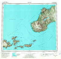
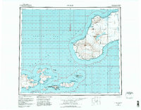
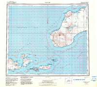
1951 Map of Unimak
USGS Topo · Published 1968About this map
Pogromni Volcano and the massive Fisher Caldera dominate the topography of Unimak Island in this mid-century reconnaissance of the eastern Aleutians. The landscape is defined by its volcanic peaks, including Faris Peak and Westdahl Peak, situated within the Aleutian Islands National Wildlife Refuge. Coastal navigation is marked by the Cape Sarichef Lighthouse and the station at Scotch Cap, critical outposts for vessels navigating the Avatanak Strait and Derbin Strait.
Find a feature on this map
115 named features on this map. Tap any name to fly to it.
Don’t see what you’re looking for? This feature index may not catch every label — zoom into the map to look around manually.
Map Details
Editions of this 1951 Unimak Map
7 editions found
Other maps of this area

1943 · Fort Randall
USGS Topo · 1:250,000

1949 · False Pass
USGS Topo · 1:250,000

1949 · Fort Randall
USGS Topo · 1:250,000

1950 · False Pass
USGS Topo · 1:250,000

1950 · Fort Randall
USGS Topo · 1:250,000

1951 · Unalaska
USGS Topo · 1:250,000

1951 · Unimak
USGS Topo · 1:250,000

1958 · Unimak
USGS Topo · 1:250,000
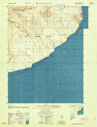
1958 · Unimak B-2 NE
USGS Topo · 1:25,000

1989 · Unimak C-1
USGS Topo · 1:63,360