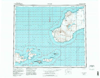
1951 Map of Unimak
USGS Topo · Published 1984About this map
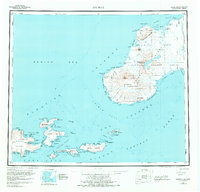
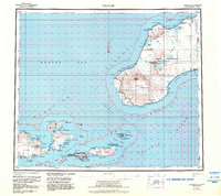
Unimak Island and the eastern Aleutian chain are depicted here at a time when maritime navigation and military-industrial outposts defined the region's human presence. The settlement of Akutan serves as a primary focal point, situated near a specialized Whaling Sta and a dedicated Seaplane Anchorage in Akutan Harbor. This arrangement highlights the strategic and commercial importance of the sheltered bays along the Akutan Bay during the mid-20th century.
Find a feature on this map
96 named features on this map. Tap any name to fly to it.
Don’t see what you’re looking for? This feature index may not catch every label — zoom into the map to look around manually.
Map Details
Editions of this 1951 Unimak Map
7 editions found
Other maps of this area

1943 · Fort Randall
USGS Topo · 1:250,000

1949 · False Pass
USGS Topo · 1:250,000

1949 · Fort Randall
USGS Topo · 1:250,000

1950 · False Pass
USGS Topo · 1:250,000

1950 · Fort Randall
USGS Topo · 1:250,000

1951 · Unalaska
USGS Topo · 1:250,000

1951 · Unimak
USGS Topo · 1:250,000

1958 · Unimak
USGS Topo · 1:250,000
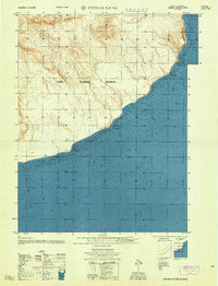
1958 · Unimak B-2 NE
USGS Topo · 1:25,000

1989 · Unimak C-1
USGS Topo · 1:63,360