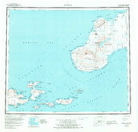
1951 Map of Unimak
USGS Topo · Published 1973About this map
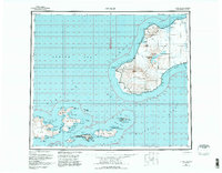
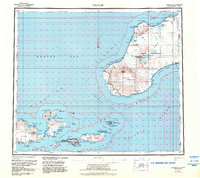
Unimak Island and its surrounding archipelago dominate this mid-century reconnaissance, capturing a landscape defined by active volcanism and maritime navigation. The towering Pogromni Volcano and Fisher Caldera anchor the island interior, while the Tugamak Range stretches toward the northern coastline. Maritime activity is evidenced by the Cape Sarichef Lighthouse and the Akutan Seaplane Anchorage, essential hubs for transportation in this remote corner of the Aleutian Islands.
Find a feature on this map
99 named features on this map. Tap any name to fly to it.
Don’t see what you’re looking for? This feature index may not catch every label — zoom into the map to look around manually.
Map Details
Editions of this 1951 Unimak Map
7 editions found
Other maps of this area

1943 · Fort Randall
USGS Topo · 1:250,000

1949 · False Pass
USGS Topo · 1:250,000

1949 · Fort Randall
USGS Topo · 1:250,000

1950 · False Pass
USGS Topo · 1:250,000

1950 · Fort Randall
USGS Topo · 1:250,000

1951 · Unalaska
USGS Topo · 1:250,000

1951 · Unimak
USGS Topo · 1:250,000

1958 · Unimak
USGS Topo · 1:250,000
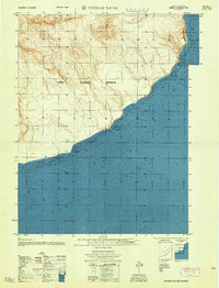
1958 · Unimak B-2 NE
USGS Topo · 1:25,000

1989 · Unimak C-1
USGS Topo · 1:63,360