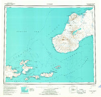
1951 Map of Unimak
USGS Topo · Published 1968About this map
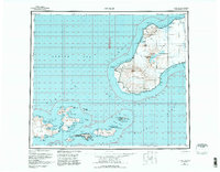
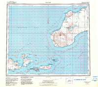
The massive geological features of the Aleutian Islands dominate this survey, centered on the dramatic profile of Unimak Island. The terrain is defined by the massive Fisher Caldera and volcanic summits like Pogromni Volcano and Westdahl Peak. At the coast, the Lighthouse at Cape Sarichef and the station at Scotch Cap indicate the critical role this landmass plays in Bering Sea navigation. Small maritime outposts and seasonal sites are visible, including a Whaling Sta in Akutan Harbor and various landings like Sealion Pt. The map captures a landscape largely encompassed by the Aleutian Islands National Wildlife Refuge, where high-relief peaks like Eickelberg Peak rise abruptly from the Slime Bank and Unimak Bight.
Find a feature on this map
123 named features on this map. Tap any name to fly to it.
Don’t see what you’re looking for? This feature index may not catch every label — zoom into the map to look around manually.
Map Details
Editions of this 1951 Unimak Map
7 editions found
Other maps of this area

1943 · Fort Randall
USGS Topo · 1:250,000

1949 · False Pass
USGS Topo · 1:250,000

1949 · Fort Randall
USGS Topo · 1:250,000

1950 · False Pass
USGS Topo · 1:250,000

1950 · Fort Randall
USGS Topo · 1:250,000

1951 · Unalaska
USGS Topo · 1:250,000

1951 · Unimak
USGS Topo · 1:250,000

1958 · Unimak
USGS Topo · 1:250,000
1958 · Unimak B-2 NE
USGS Topo · 1:25,000

1989 · Unimak C-1
USGS Topo · 1:63,360