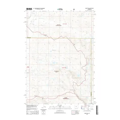
2015 Map of Union Peak
USGS Topo · Published 2015About this map
The Continental Divide serves as the literal and metaphorical centerpiece of this high-elevation landscape, where the administrative borders of the Shoshone National Forest, Teton National Forest, and Bridger National Forest converge. This is a region defined by its hydrography and topography rather than human settlement, though the presence of the Seven Lakes ATV trail and proximity to Ryan Park indicate the area's modern role in recreation. High-country landmarks such as Union Peak, Three Waters Mtn, and Gunsight Pass dominate the horizon, while a dense network of alpine water bodies including Union Lake, Granite Lake, and the cluster at Seven Lakes feed the headwaters of the S Fork Fish Cr and Jakeys Fork. The map provides a clear look at the complex drainage patterns on Piñon Ridge and the remote transition between Fremont and Sublette counties.
Find a feature on this map
38 named features on this map. Tap any name to fly to it.
Don’t see what you’re looking for? This feature index may not catch every label — zoom into the map to look around manually.
Map Details
Editions of this 2015 Union Peak Map
This is the sole edition of this map. No revisions or reprints were ever made.
Other maps of this area
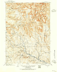
1905 · Younts Peak
USGS Topo · 1:125,000
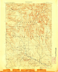
1907 · Younts Peak
USGS Topo · 1:125,000
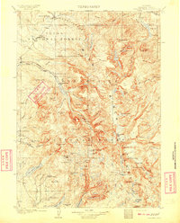
1909 · Fremont Peak
USGS Topo · 1:125,000

1955 · Thermopolis
USGS Topo · 1:250,000
1956 · Dubois
USGS Topo · 1:24,000
1956 · Warm Spring Mountain
USGS Topo · 1:24,000
1956 · Fish Lake
USGS Topo · 1:24,000
1958 · Thermopolis
USGS Topo · 1:250,000
1962 · Thermopolis
USGS Topo · 1:250,000
1967 · Fish Creek Park
USGS Topo · 1:24,000