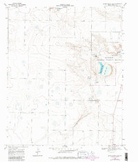
1968 Map of Upper White Lake
USGS Topo · Published 1981About this map
The Muleshoe National Wildlife Refuge anchors this West Texas landscape, centered on a series of saline playas that provide critical habitat on the High Plains. Photorevised in 1980, the map details the infrastructure of the refuge, including the Refuge Headquarters, a Campground, and a Landing Strip near the northern shore of Upper White Lake. The distinct boundaries between the alkaline basins and the surrounding agricultural plateau are marked by numerous scattered Wells and intermittent water features like Baileyboro Lake and Enochs Pond.
Find a feature on this map
15 named features on this map. Tap any name to fly to it.
Don’t see what you’re looking for? This feature index may not catch every label — zoom into the map to look around manually.
Map Details
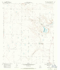
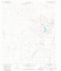
Editions of this 1968 Upper White Lake Map
3 editions found
Other maps of this area

1954 · Clovis
USGS Topo · 1:250,000

1954 · Brownfield
USGS Topo · 1:250,000

1958 · Brownfield
USGS Topo · 1:250,000

1958 · Clovis
USGS Topo · 1:250,000

1962 · Brownfield
USGS Topo · 1:250,000

1962 · Needmore
USGS Topo · 1:24,000

1962 · Stegall
USGS Topo · 1:24,000

1962 · Baileyboro
USGS Topo · 1:24,000
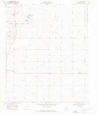
1968 · Bula
USGS Topo · 1:24,000

1968 · Three Way School
USGS Topo · 1:24,000