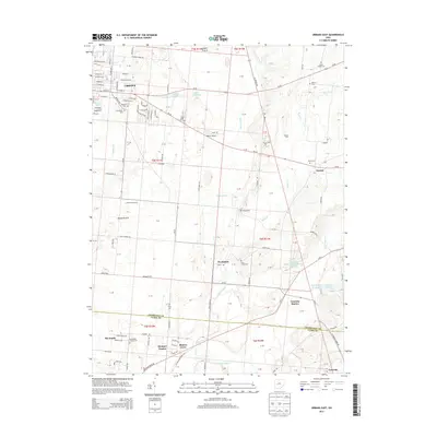
2013 Map of Urbana East
USGS Topo · Published 2013About this map
The eastern edges of Urbana and the surrounding agricultural landscape define this 2013 survey of Champaign County. The city transition is marked by the Champaign County Fairgrounds and the sprawling Oakdale Cem, while smaller residential developments like The Knolls and Mumper Estates extend southward. The rural character is punctuated by family-named agricultural sites such as Michael Farms and Cottonwood Farms, alongside several water bodies like the sequence of First Price Pond, Second Price Pond, and Third Price Pond.
Find a feature on this map
144 named features on this map. Tap any name to fly to it.
Don’t see what you’re looking for? This feature index may not catch every label — zoom into the map to look around manually.
Map Details
Editions of this 2013 Urbana East Map
This is the sole edition of this map. No revisions or reprints were ever made.
Other maps of this area

1904 · Springfield
USGS Topo · 1:62,500

1906 · Springfield
USGS Topo · 1:62,500

1907 · South Charleston
USGS Topo · 1:62,500

1914 · St. Paris
USGS Topo · 1:62,500

1914 · Mechanicsburg
USGS Topo · 1:62,500

1916 · Mechanicsburg
USGS Topo · 1:62,500

1916 · St. Paris
USGS Topo · 1:62,500

1944 · Mechanicsburg
USGS Topo · 1:62,500

1944 · St. Paris
USGS Topo · 1:62,500

1947 · Columbus
USGS Topo · 1:250,000