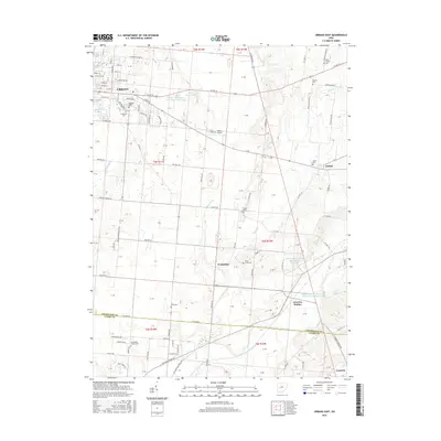
2016 Map of Urbana East
USGS Topo · Published 2016About this map
Urbana serves as the western anchor for this landscape, where the residential grid of the city meets the open agricultural expanses of eastern Champaign County. The survey traces the eastern progression of US Rte 36 and Scioto St, leading toward small settlements like Mutual and the rural crossroads of Powhattan. The drainage patterns are defined by Buck Creek, which flows south toward the Clark County line, regulated by several reservoirs including the East Fork Buck Creek Structure 10 Reservoir.
Find a feature on this map
99 named features on this map. Tap any name to fly to it.
Don’t see what you’re looking for? This feature index may not catch every label — zoom into the map to look around manually.
Map Details
Editions of this 2016 Urbana East Map
This is the sole edition of this map. No revisions or reprints were ever made.
Other maps of this area

1904 · Springfield
USGS Topo · 1:62,500
1906 · Springfield
USGS Topo · 1:62,500
1907 · South Charleston
USGS Topo · 1:62,500
1914 · St. Paris
USGS Topo · 1:62,500
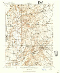
1914 · Mechanicsburg
USGS Topo · 1:62,500
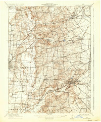
1916 · Mechanicsburg
USGS Topo · 1:62,500
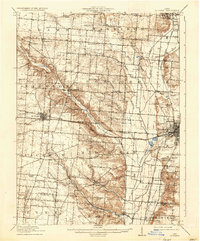
1916 · St. Paris
USGS Topo · 1:62,500
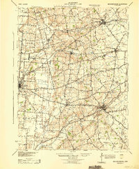
1944 · Mechanicsburg
USGS Topo · 1:62,500
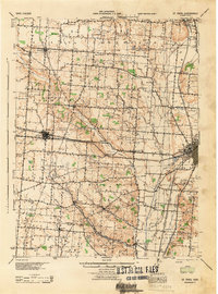
1944 · St. Paris
USGS Topo · 1:62,500

1947 · Columbus
USGS Topo · 1:250,000