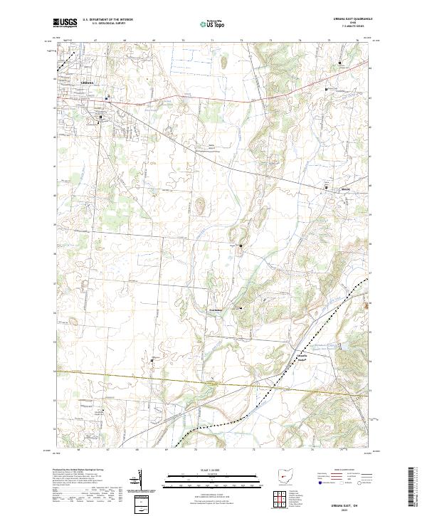
2023 Map of Urbana East
USGS Topo · Published 2023About this map
Urbana and its eastern agricultural hinterlands define this portion of Champaign County and Clark County. The landscape is characterized by a series of controlled water systems, including the First Price Pond, Second Price Pond, and Third Price Pond chain, alongside the engineering of Dugan Ditch and the East Fork Buck Creek Structure Number Four Reservoir. Small crossroads and rail-related settlements such as Mutual, Powhattan, and Catawba Station are scattered across the terrain, connected by a network of township roads and US Route 36.
Find a feature on this map
103 named features on this map. Tap any name to fly to it.
Don’t see what you’re looking for? This feature index may not catch every label — zoom into the map to look around manually.
Map Details
Editions of this 2023 Urbana East Map
This is the sole edition of this map. No revisions or reprints were ever made.
Historical Maps of Mumper Estates Through Time
12 maps found
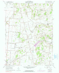
1961 Kingscreek
Champaign County, OH

1961 Northville
Champaign County, OH
1961 Saint Paris
Champaign County, OH
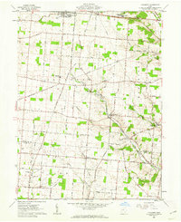
1961 Thackery
Champaign County, OH
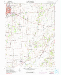
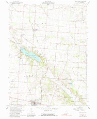
1961 Urbana East
Champaign County, OH
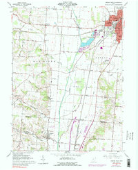
1961 Urbana West
Champaign County, OH
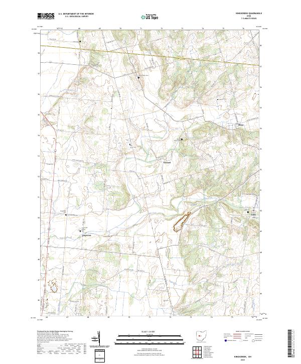
2023 Kingscreek
Champaign County, OH
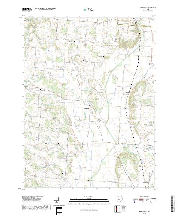
2023 Northville
Champaign County, OH
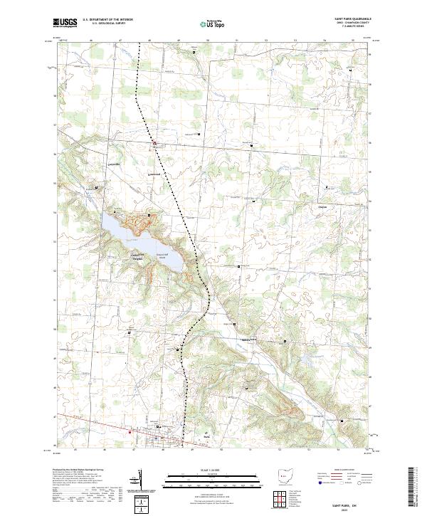
2023 Saint Paris
Champaign County, OH
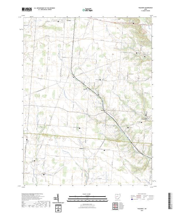
2023 Thackery
Champaign County, OH
2023 Urbana East
Champaign County, OH
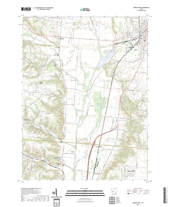
2023 Urbana West
Champaign County, OH