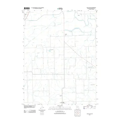
2012 Map of Utica East
USGS Topo · Published 2012About this map
Shoal Creek and the Grand River dominate this Livingston County landscape, winding through a region defined by scattered agricultural settlements and rural infrastructure. The area is anchored by the small communities of Utica, Blue Mound, and Cleary, each connected by a grid of local routes like Highway JJ. Of particular interest to genealogists are the well-preserved burial grounds, including Christian Cemetery near Englert Lake, and the Mayberry Cemetery situated to the southeast.
Find a feature on this map
23 named features on this map. Tap any name to fly to it.
Don’t see what you’re looking for? This feature index may not catch every label — zoom into the map to look around manually.
Map Details
Editions of this 2012 Utica East Map
This is the sole edition of this map. No revisions or reprints were ever made.
Other maps of this area

1921 · Chillicothe
USGS Topo · 1:62,500

1923 · Chillicothe
USGS Topo · 1:62,500

1924 · Dawn
USGS Topo · 1:62,500

1924 · Chula
USGS Topo · 1:62,500

1924 · Hale
USGS Topo · 1:62,500

1947 · Chula
USGS Topo · 1:62,500

1950 · Coloma
USGS Topo · 1:24,000

1950 · Plymouth
USGS Topo · 1:24,000

1951 · Utica
USGS Topo · 1:62,500

1951 · Hale
USGS Topo · 1:62,500