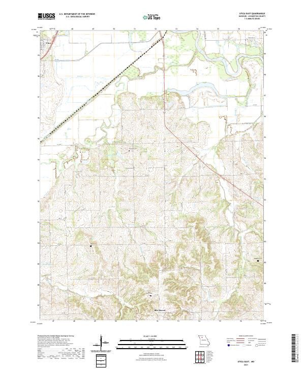
2021 Map of Utica East
USGS Topo · Published 2021About this map
Utica sits at the northwestern edge of this landscape, where the flat alluvial plains of the Grand River meet the rising, dissected hills of Livingston County. This 2021 study documents a rural terrain defined by its watercourses and small family cemeteries that anchor the local history. South of the river, the prominent Blue Mound rises as a landmark, flanked by the Blue Mound Cem and the settlement of the same name.
Find a feature on this map
46 named features on this map. Tap any name to fly to it.
Don’t see what you’re looking for? This feature index may not catch every label — zoom into the map to look around manually.
Map Details
Editions of this 2021 Utica East Map
This is the sole edition of this map. No revisions or reprints were ever made.
Other maps of this area

1921 · Chillicothe
USGS Topo · 1:62,500

1923 · Chillicothe
USGS Topo · 1:62,500

1924 · Dawn
USGS Topo · 1:62,500

1924 · Chula
USGS Topo · 1:62,500

1924 · Hale
USGS Topo · 1:62,500

1947 · Chula
USGS Topo · 1:62,500

1950 · Coloma
USGS Topo · 1:24,000

1950 · Plymouth
USGS Topo · 1:24,000

1951 · Utica
USGS Topo · 1:62,500

1951 · Hale
USGS Topo · 1:62,500