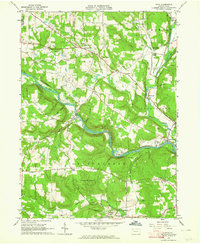
1963 Map of Utica
USGS Topo · Published 1964About this map
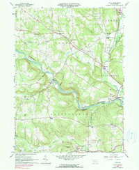
French Creek winds through the heart of this Venango County landscape, creating a series of deep bends that historically dictated the placement of settlements and transport lines. Along the southern banks, the extensive grounds of the Polk State School overlook the borough of Polk, while the Erie-Lackawanna railroad tracks track the river's path through Utica and toward Sugarcreek. The map reveals a rural economy shaped by varied resources, including numerous labeled oil wells, several borrow pits, and quarries scattered between the wooded hills.
Find a feature on this map
46 named features on this map. Tap any name to fly to it.
Don’t see what you’re looking for? This feature index may not catch every label — zoom into the map to look around manually.
Map Details
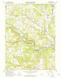
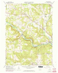
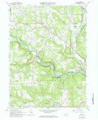
Editions of this 1963 Utica Map
5 editions found
Other maps of this area

1909 · Franklin
USGS Topo · 1:62,500

1911 · Franklin
USGS Topo · 1:62,500

1911 · Stoneboro
USGS Topo · 1:62,500

1913 · Stoneboro
USGS Topo · 1:62,500

1923 · Meadville
USGS Topo · 1:62,500

1925 · Meadville
USGS Topo · 1:62,500

1927 · Townville
USGS Topo · 1:48,000

1932 · Townville
USGS Topo · 1:62,500

1943 · Meadville
USGS Topo · 1:62,500

1943 · Stoneboro
USGS Topo · 1:62,500