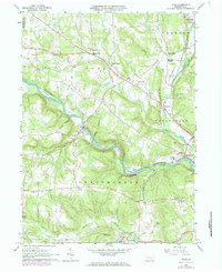
1963 Map of Utica
USGS Topo · Published 1984About this map
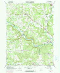
French Creek carves a deep valley through Venango County, serving as the central artery for transport and settlement in this 1960s landscape. The Erie-Lackawanna railroad follows the winding riverbank, connecting the town of Utica with smaller communities like Takitezy and Sugarcreek. These rail lines, including the Penn Central further south, reflect a valley economy built on the transport of resources, supported by numerous Oil Wells and a Quarry dotting the hillsides near Niles.
Find a feature on this map
53 named features on this map. Tap any name to fly to it.
Don’t see what you’re looking for? This feature index may not catch every label — zoom into the map to look around manually.
Map Details
Editions of this 1963 Utica Map
5 editions found
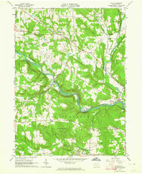
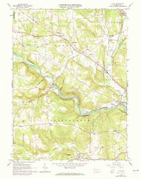
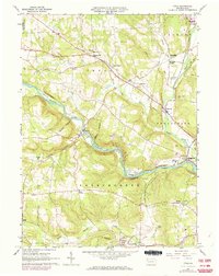
Other maps of this area

1909 · Franklin
USGS Topo · 1:62,500

1911 · Franklin
USGS Topo · 1:62,500

1911 · Stoneboro
USGS Topo · 1:62,500

1913 · Stoneboro
USGS Topo · 1:62,500

1923 · Meadville
USGS Topo · 1:62,500

1925 · Meadville
USGS Topo · 1:62,500

1927 · Townville
USGS Topo · 1:48,000

1932 · Townville
USGS Topo · 1:62,500

1943 · Meadville
USGS Topo · 1:62,500

1943 · Stoneboro
USGS Topo · 1:62,500