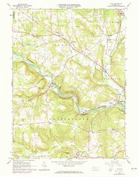
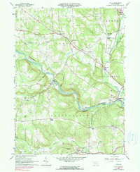
1963 Map of Utica
USGS Topo · Published 1973About this map
The winding course of French Creek defines the valley landscape between Utica and Polk, where two major rail lines once dominated the local transport network. The Erie-Lackawanna and Penn Central tracks trace the riverbanks, supporting a region characterized by small rural settlements and an active petroleum history, evidenced by numerous Oil Wells scattered across the hills.
Find a feature on this map
54 named features on this map. Tap any name to fly to it.
Don’t see what you’re looking for? This feature index may not catch every label — zoom into the map to look around manually.
Map Details
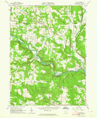
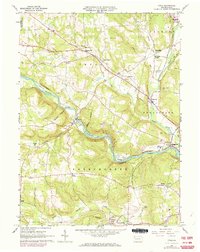
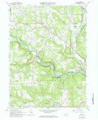
Editions of this 1963 Utica Map
5 editions found
Other maps of this area

1909 · Franklin
USGS Topo · 1:62,500

1911 · Franklin
USGS Topo · 1:62,500

1911 · Stoneboro
USGS Topo · 1:62,500

1913 · Stoneboro
USGS Topo · 1:62,500

1923 · Meadville
USGS Topo · 1:62,500

1925 · Meadville
USGS Topo · 1:62,500

1927 · Townville
USGS Topo · 1:48,000

1932 · Townville
USGS Topo · 1:62,500

1943 · Meadville
USGS Topo · 1:62,500

1943 · Stoneboro
USGS Topo · 1:62,500