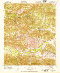
1952 Map of Val Verde
USGS Topo · Published 1953About this map
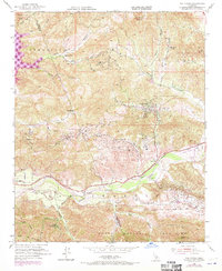
Oil Wells dominate the landscape north of the Santa Clara River in this 1952 study of the corridor between the Santa Susana Mountains and the Temescal region. The map captures a high-desert industrial and ranching economy just before the suburban expansion of the later 20th century. Named family holdings like Hathaway Ranch, Lechler Ranch, and Black Ranch are situated alongside the operations of the many Oil Wells that dot the canyons.
Find a feature on this map
38 named features on this map. Tap any name to fly to it.
Don’t see what you’re looking for? This feature index may not catch every label — zoom into the map to look around manually.
Map Details
Editions of this 1952 Val Verde Map
7 editions found
Other maps of this area

1900 · Piru
USGS Topo · 1:62,500

1903 · Tejon
USGS Topo · 1:125,000

1903 · Camulos
USGS Topo · 1:125,000

1903 · Santa Susana
USGS Topo · 1:62,500

1921 · Piru
USGS Topo · 1:62,500
1929 · Pico
USGS Topo · 1:24,000

1931 · Whitaker Peak
USGS Topo · 1:24,000

1931 · Santa Felicia Canyon
USGS Topo · 1:24,000

1931 · Castaic
USGS Topo · 1:24,000

1935 · Santa Felicia Canyon
USGS Topo · 1:24,000