Loading...
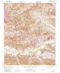
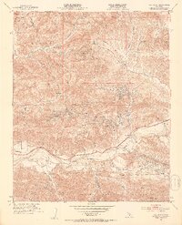
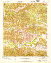
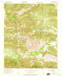
Loading map...1952 Map of Val Verde
USGS Topo · Published 1988About this map
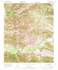
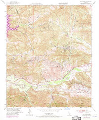
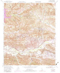
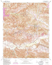
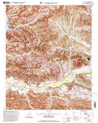
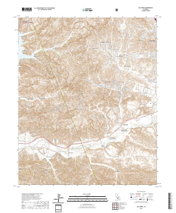
Santa Clara River flows through the southern portion of this landscape, flanked by the Santa Susana Mountains and the rising slopes of Oak Ridge. The geography is defined by a series of deep canyons, including San Martinez Grande Canyon and Hasley Canyon Road, which provided vital passage for early ranching operations. Significant family-held lands such as Hathaway Ranch, Lechler Ranch, and Stanley Ranch are noted, reflecting the area's mid-century agricultural and ranching character.
Find a feature on this map
37 named features on this map. Tap any name to fly to it.
Don’t see what you’re looking for? This feature index may not catch every label — zoom into the map to look around manually.
Map Details
Date Portrayed1952
Date Published1988
PublisherU.S. Geological Survey
Map TypeTopographic
Scale1:24,000
Physical Dimensions22 x 26.8 inches
Editions of this 1952 Val Verde Map
7 editions found
Historical Maps of Val Verde Through Time
7 maps found
Featured Locations
Source Details
SourceU.S. Geological Survey
CopyrightPublic Domain