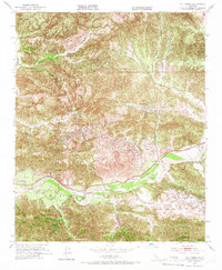
1952 Map of Val Verde
USGS Topo · Published 1966About this map
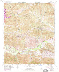
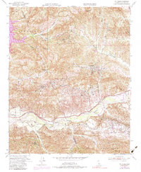
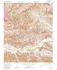
The Santa Clara River valley serves as a primary corridor for industry and transit in the early 1950s, defining the southern portion of this region. Clusters of Oil Wells are scattered throughout the hills, particularly in the vicinity of Del Valle and the surrounding canyons, illustrating the petroleum-driven economy of mid-century Los Angeles County. The Southern Pacific railroad follows the river's path, serving logistical points like Mayo Spur and facilitating the movement of resources through the valley floor.
Find a feature on this map
29 named features on this map. Tap any name to fly to it.
Don’t see what you’re looking for? This feature index may not catch every label — zoom into the map to look around manually.
Map Details
Editions of this 1952 Val Verde Map
7 editions found
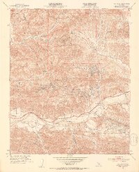
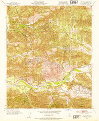
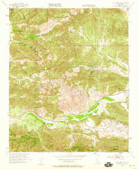
Other maps of this area

1900 · Piru
USGS Topo · 1:62,500

1903 · Tejon
USGS Topo · 1:125,000

1903 · Camulos
USGS Topo · 1:125,000

1903 · Santa Susana
USGS Topo · 1:62,500

1921 · Piru
USGS Topo · 1:62,500
1929 · Pico
USGS Topo · 1:24,000

1931 · Whitaker Peak
USGS Topo · 1:24,000

1931 · Santa Felicia Canyon
USGS Topo · 1:24,000

1931 · Castaic
USGS Topo · 1:24,000

1935 · Santa Felicia Canyon
USGS Topo · 1:24,000