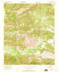
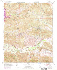
1952 Map of Val Verde
USGS Topo · Published 1959About this map
Extensive clusters of Oil Wells punctuate the canyons of the Santa Susana Mountains and Oak Ridge, defining the mid-century industrial character of this Los Angeles County landscape. The Santa Clara River serves as a primary corridor through the terrain, flanked by the Southern Pacific railroad and Telegraph Road. This transit-heavy valley floor contrasts with the higher elevations where family holdings like Hathaway Ranch, Lechler Ranch, and Stanley Ranch are established among the winding drainages of Hasley Canyon and San Martinez Grande Canyon. The settlement at Val Verde and the nearby Del Valle station represent the residential and logistics hubs of the era, supporting the surrounding petroleum extraction and agricultural operations within the Los Angeles Natl Forest border.
Find a feature on this map
35 named features on this map. Tap any name to fly to it.
Don’t see what you’re looking for? This feature index may not catch every label — zoom into the map to look around manually.
Map Details
Editions of this 1952 Val Verde Map
7 editions found
Other maps of this area

1900 · Piru
USGS Topo · 1:62,500

1903 · Tejon
USGS Topo · 1:125,000

1903 · Camulos
USGS Topo · 1:125,000

1903 · Santa Susana
USGS Topo · 1:62,500

1921 · Piru
USGS Topo · 1:62,500
1929 · Pico
USGS Topo · 1:24,000

1931 · Whitaker Peak
USGS Topo · 1:24,000

1931 · Santa Felicia Canyon
USGS Topo · 1:24,000

1931 · Castaic
USGS Topo · 1:24,000

1935 · Santa Felicia Canyon
USGS Topo · 1:24,000