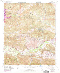
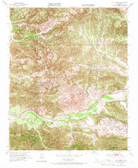
1952 Map of Val Verde
USGS Topo · Published 1970About this map
Oak Canyon Oil Field and the surrounding energy landscape dominate this 1952 topographic study of the Santa Clara River Valley, updated with 1969 revisions. The map captures a critical era of petroleum extraction in Los Angeles County, showing the dense network of Oil Wells and tanks across the Castaic Hills Oil Field and Newhall Potrero Oil Field. The town of Val Verde is depicted alongside the Southern Pacific rail line, which served industrial interests like the Del Valle Oil and Gas Field.
Find a feature on this map
53 named features on this map. Tap any name to fly to it.
Don’t see what you’re looking for? This feature index may not catch every label — zoom into the map to look around manually.
Map Details
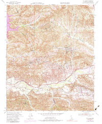
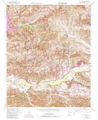
Editions of this 1952 Val Verde Map
7 editions found
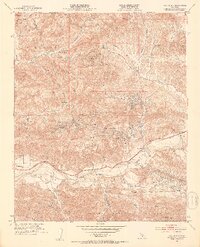
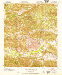
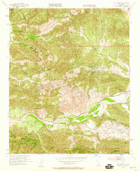
Other maps of this area

1900 · Piru
USGS Topo · 1:62,500

1903 · Tejon
USGS Topo · 1:125,000

1903 · Camulos
USGS Topo · 1:125,000

1903 · Santa Susana
USGS Topo · 1:62,500

1921 · Piru
USGS Topo · 1:62,500
1929 · Pico
USGS Topo · 1:24,000

1931 · Whitaker Peak
USGS Topo · 1:24,000

1931 · Santa Felicia Canyon
USGS Topo · 1:24,000

1931 · Castaic
USGS Topo · 1:24,000

1935 · Santa Felicia Canyon
USGS Topo · 1:24,000