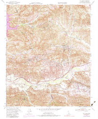
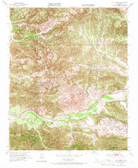
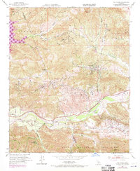
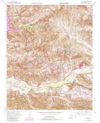
1952 Map of Val Verde
USGS Topo · Published 1984About this map
Temescal Oil Field and several neighboring petroleum zones define the industrial character of this landscape, where oil extraction and ranching coexisted in the mid-20th century. The terrain is deeply carved by numerous drainages including San Martinez Grande Canyon and Hasley Canyon, which funnel toward the Santa Clara River in the south. These canyons provided natural corridors for early development and family holdings like Hathaway Ranch, Lechler Ranch, and Stanley Ranch, marking the transition from large agricultural estates to a resource-driven economy.
Find a feature on this map
46 named features on this map. Tap any name to fly to it.
Don’t see what you’re looking for? This feature index may not catch every label — zoom into the map to look around manually.
Map Details
Editions of this 1952 Val Verde Map
7 editions found
Other maps of this area

1900 · Piru
USGS Topo · 1:62,500

1903 · Tejon
USGS Topo · 1:125,000

1903 · Camulos
USGS Topo · 1:125,000

1903 · Santa Susana
USGS Topo · 1:62,500

1921 · Piru
USGS Topo · 1:62,500
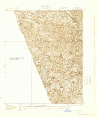
1929 · Pico
USGS Topo · 1:24,000

1931 · Whitaker Peak
USGS Topo · 1:24,000

1931 · Santa Felicia Canyon
USGS Topo · 1:24,000

1931 · Castaic
USGS Topo · 1:24,000

1935 · Santa Felicia Canyon
USGS Topo · 1:24,000