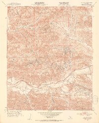
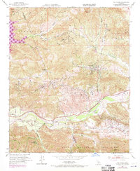
1952 Map of Val Verde
USGS Topo · Published 1953About this map
The Santa Clara River valley and the surrounding Santa Susana Mountains define this landscape during a period of significant petroleum and agricultural activity. Numerous Oil Wells are scattered across the canyons, particularly near Del Valle and throughout the northern hills, signaling the industrial importance of the region in the early 1950s. The transportation network is anchored by the Southern Pacific railroad and the Telegraph Road, which follow the river's path through the valley floor.
Find a feature on this map
41 named features on this map. Tap any name to fly to it.
Don’t see what you’re looking for? This feature index may not catch every label — zoom into the map to look around manually.
Map Details
Editions of this 1952 Val Verde Map
7 editions found
Other maps of this area

1900 · Piru
USGS Topo · 1:62,500

1903 · Tejon
USGS Topo · 1:125,000

1903 · Camulos
USGS Topo · 1:125,000

1903 · Santa Susana
USGS Topo · 1:62,500

1921 · Piru
USGS Topo · 1:62,500
1929 · Pico
USGS Topo · 1:24,000

1931 · Whitaker Peak
USGS Topo · 1:24,000

1931 · Santa Felicia Canyon
USGS Topo · 1:24,000

1931 · Castaic
USGS Topo · 1:24,000

1935 · Santa Felicia Canyon
USGS Topo · 1:24,000