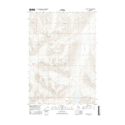
2016 Map of Valdez B-5 NW
USGS Topo · Published 2016About this map
Greyling Lake anchors the southern portion of this interior Alaskan landscape, serving as the headwater for the winding Greyling Creek. The terrain is defined by high alpine elevations and steep ridges, mapped with forty-foot contour intervals that detail the complex drainage patterns of the Copper River basin. The survey illustrates the stark, undeveloped character of the Unorganized Borough during the early 21st century, where natural water systems dictate the orientation of the land. This map provides a precise record of the hydrography within the t5s r3w and t5s r4w townships, showing the isolated course of the creek as it moves northward through the valleys.
Find a feature on this map
8 named features on this map. Tap any name to fly to it.
Don’t see what you’re looking for? This feature index may not catch every label — zoom into the map to look around manually.
Map Details
Editions of this 2016 Valdez B-5 NW Map
This is the sole edition of this map. No revisions or reprints were ever made.
Other maps of this area

1950 · Valdez C-6
USGS Topo · 1:63,360

1951 · Valdez B-5
USGS Topo · 1:63,360

1951 · Valdez C-5
USGS Topo · 1:63,360

1951 · Valdez B-6
USGS Topo · 1:63,360

1952 · Valdez
USGS Topo · 1:250,000

1953 · Valdez C-6
USGS Topo · 1:63,360

1953 · Valdez C-5
USGS Topo · 1:63,360

1953 · Valdez B-6
USGS Topo · 1:63,360

1960 · Valdez
USGS Topo · 1:250,000
1993 · Valdez C-6
USGS Topo · 1:63,360