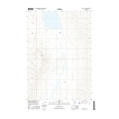
2016 Map of Valdez C-6 SE
USGS Topo · Published 2016About this map
Klutina Lake dominates the northern reaches of this Alaskan landscape, serving as the headwaters for a network of glacial runoff and river systems. The Klutina River flows southward out of the lake, carving a braided path through a wide valley floor marked by intricate hydrography and varying wetlands. To the west, the Hallet River feeds into the lake, while the surrounding terrain is defined by dramatic elevation gains leading to high points such as Mayer Peak and Bence Mtn. This 2016 survey documents the untouched wilderness of the Unorganized Borough, focusing on the topographic relationship between the expansive lake and the river drainage systems that define the local watershed.
Find a feature on this map
9 named features on this map. Tap any name to fly to it.
Don’t see what you’re looking for? This feature index may not catch every label — zoom into the map to look around manually.
Map Details
Editions of this 2016 Valdez C-6 SE Map
This is the sole edition of this map. No revisions or reprints were ever made.
Other maps of this area

1950 · Valdez C-6
USGS Topo · 1:63,360

1951 · Valdez B-5
USGS Topo · 1:63,360

1951 · Valdez C-5
USGS Topo · 1:63,360

1951 · Valdez B-6
USGS Topo · 1:63,360

1952 · Valdez
USGS Topo · 1:250,000

1953 · Valdez C-6
USGS Topo · 1:63,360

1953 · Valdez C-5
USGS Topo · 1:63,360

1953 · Valdez B-6
USGS Topo · 1:63,360

1960 · Valdez
USGS Topo · 1:250,000
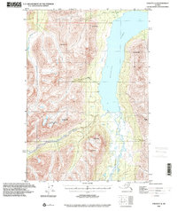
1993 · Valdez C-6
USGS Topo · 1:63,360