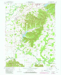
1959 Map of Vallonia
USGS Topo · Published 1981About this map
The White River and Muscatatuck River define the northern and southern reaches of this landscape, flanking the rugged terrain of the Jackson-Washington State Forest. Near the river bends, the settlement of Vallonia serves as a central hub, connected by the Baltimore and Ohio railroad which cuts across the territory. Further south, Millport sits along the Muscatatuck, while the eastern edge features the community of Wegan and the associated St Pauls Sch and St Pauls Cem.
Find a feature on this map
44 named features on this map. Tap any name to fly to it.
Don’t see what you’re looking for? This feature index may not catch every label — zoom into the map to look around manually.
Map Details
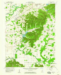
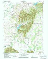
Editions of this 1959 Vallonia Map
4 editions found
Other maps of this area

1951 · Smedley
USGS Topo · 1:24,000

1953 · Kossuth
USGS Topo · 1:24,000

1956 · Vincennes
USGS Topo · 1:250,000

1956 · Louisville
USGS Topo · 1:250,000

1957 · Vincennes
USGS Topo · 1:250,000

1958 · Vincennes
USGS Topo · 1:250,000

1958 · Little York
USGS Topo · 1:24,000

1958 · Brownstown
USGS Topo · 1:24,000

1958 · Seymour
USGS Topo · 1:24,000
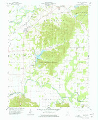
1959 · Vallonia
USGS Topo · 1:24,000