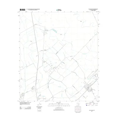
2013 Map of Van Vleck
USGS Topo · Published 2013About this map
Van Vleck serves as the primary hub of this Matagorda County landscape, where the flat coastal plains are defined by an intricate network of drainage and petroleum extraction. The settlement pattern is largely influenced by the presence of the Bay City Oil Field and the Armour Oil Field, which speak to the industrial character of the region. Local history is anchored at the Free System Cem on the eastern edge of Van Vleck, while smaller rural nodes like Chalmers and McCroskey are connected by a grid of named farm-to-market roads.
Find a feature on this map
61 named features on this map. Tap any name to fly to it.
Don’t see what you’re looking for? This feature index may not catch every label — zoom into the map to look around manually.
Map Details
Editions of this 2013 Van Vleck Map
This is the sole edition of this map. No revisions or reprints were ever made.
Other maps of this area

1950 · Houston
USGS Topo · 1:250,000

1951 · Bay City
USGS Topo · 1:250,000

1952 · Danciger
USGS Topo · 1:24,000

1952 · Ashwood
USGS Topo · 1:24,000

1952 · Lane City SE
USGS Topo · 1:24,000

1952 · Pledger
USGS Topo · 1:24,000

1952 · Bay City
USGS Topo · 1:24,000

1952 · Markham
USGS Topo · 1:24,000

1952 · Bay City NE
USGS Topo · 1:24,000

1952 · Lane City
USGS Topo · 1:24,000