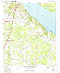
1979 Map of Vance
USGS Topo · Published 1980About this map
Lake Marion and the Santee River define the northeastern edge of this coastal plain landscape, where the waters of Webbs Creek and Mill Creek feed into the massive reservoir. Inland, the town of Vance and the growing resort area of Santee are connected by the Seaboard Coast Line railroad and a network of highways that replaced older rural tracks. The map records a transition toward recreation and conservation, featuring Santee State Park, a golf course, and multiple Campgrounds, while still maintaining its agricultural and spiritual foundations. Numerous small congregations and family burial grounds are preserved here, including the Dantzler-Hart Cem and Gerizim Ch. The low-lying terrain is punctuated by significant wetland systems like Target Swamp and Horse Range Swamp, which wind through the southern half of the quadrangle.
Find a feature on this map
45 named features on this map. Tap any name to fly to it.
Don’t see what you’re looking for? This feature index may not catch every label — zoom into the map to look around manually.
Map Details
Editions of this 1979 Vance Map
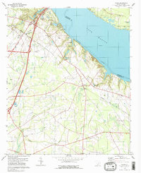
2 editions found
Other maps of this area

1920 · Eutawville
USGS Topo · 1:48,000

1920 · Bowman
USGS Topo · 1:48,000

1921 · Bowman
USGS Topo · 1:62,500

1921 · Eutawville
USGS Topo · 1:62,500

1943 · Bowman
USGS Topo · 1:62,500

1943 · Orangeburg
USGS Topo · 1:125,000

1943 · Eutawville
USGS Topo · 1:62,500

1946 · Elloree
USGS Topo · 1:62,500

1954 · Augusta
USGS Topo · 1:250,000

1957 · Augusta
USGS Topo · 1:250,000