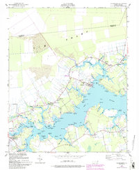
1950 Map of Vandemere
USGS Topo · Published 1993About this map
Vandemere sits at the confluence of Vandemere Creek and the Bay River, serving as a central hub for this coastal Pamlico County landscape. The mid-century settlement pattern is defined by small communities like Hollyville (Cash Corner), Maribel, and Mesic, each anchored by local institutions such as the Maribel Sch and numerous country churches including Mt Zion Ch and St James Ch. The maritime economy of the era is evident through the presence of a Marine RR in Vandemere and the proximity of the Intracoastal Waterway to the east.
Find a feature on this map
98 named features on this map. Tap any name to fly to it.
Don’t see what you’re looking for? This feature index may not catch every label — zoom into the map to look around manually.
Map Details
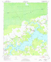
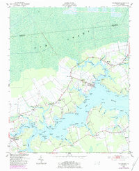
Editions of this 1950 Vandemere Map
4 editions found
Other maps of this area

1948 · Oriental
USGS Topo · 1:24,000

1950 · Vandemere
USGS Topo · 1:24,000

1950 · Lowland
USGS Topo · 1:24,000

1950 · South Creek
USGS Topo · 1:24,000

1950 · Jones Bay
USGS Topo · 1:24,000

1950 · Aurora
USGS Topo · 1:24,000

1950 · Arapahoe
USGS Topo · 1:24,000

1951 · Arapahoe
USGS Topo · 1:24,000

1951 · Broad Creek
USGS Topo · 1:24,000

1953 · Rocky Mount
USGS Topo · 1:250,000