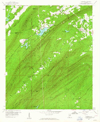
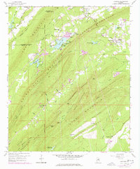
1959 Map of Vandiver
USGS Topo · Published 1960About this map
Coosa Mountain and Oak Mountain dominate the terrain of this 1959 survey, creating a series of narrow valleys where local communities like Vandiver and Dunavant took root. The landscape is defined by the rigid parallel ridges of Pine Mountain and Double Mountain, which channel waterways like Shoal Creek and the Little Cahaba River. These valleys supported a network of small country churches including Union Hill Ch, Pleasant Ridge Ch, and Mt Olive Ch, many adjacent to local cemeteries.
Find a feature on this map
66 named features on this map. Tap any name to fly to it.
Don’t see what you’re looking for? This feature index may not catch every label — zoom into the map to look around manually.
Map Details
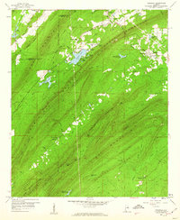
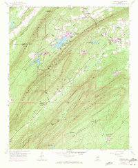
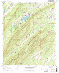
Editions of this 1959 Vandiver Map
5 editions found
Other maps of this area

1889 · Springville
USGS Topo · 1:125,000

1889 · Birmingham
USGS Topo · 1:125,000

1890 · Bessemer
USGS Topo · 1:125,000

1890 · Talladega
USGS Topo · 1:125,000

1892 · Birmingham
USGS Topo · 1:125,000

1892 · Springville
USGS Topo · 1:125,000

1892 · Talladega
USGS Topo · 1:125,000

1892 · Bessemer
USGS Topo · 1:125,000

1895 · Birmingham
USGS Topo · 1:125,000

1905 · Leeds
USGS Topo · 1:62,500