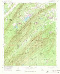
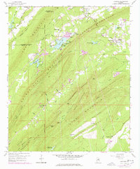
1959 Map of Vandiver
USGS Topo · Published 1971About this map
Coosa Mountain and Oak Mountain dominate this mid-century landscape where the Central of Georgia railroad cuts through the northeastern corner near the community of Vandiver. This topography reveals a complex network of ridges including Potato Ridge, Penitentiary Mountain, and the curiously named The Penitentiary basin. Water management is a defining characteristic of the area, seen in the numerous small reservoirs like Wehapa Lake, Kersoba Lake, and the cluster of Alpine Lakes. Local history is anchored by rural landmarks such as Union Hill Ch and Pleasant Site Ch, while the Lookout Tower atop Signal Mtn serves as a prominent high point. The transition from industrial rail utility to early conservation efforts is reflected in the established Chelsea Game Preserve Lake near the quadrangle's southern edge.
Find a feature on this map
62 named features on this map. Tap any name to fly to it.
Don’t see what you’re looking for? This feature index may not catch every label — zoom into the map to look around manually.
Map Details
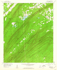
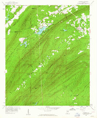
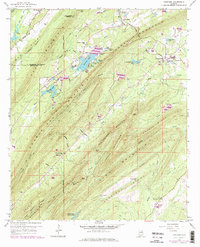
Editions of this 1959 Vandiver Map
5 editions found
Other maps of this area

1889 · Springville
USGS Topo · 1:125,000

1889 · Birmingham
USGS Topo · 1:125,000

1890 · Bessemer
USGS Topo · 1:125,000

1890 · Talladega
USGS Topo · 1:125,000

1892 · Birmingham
USGS Topo · 1:125,000

1892 · Springville
USGS Topo · 1:125,000

1892 · Talladega
USGS Topo · 1:125,000

1892 · Bessemer
USGS Topo · 1:125,000

1895 · Birmingham
USGS Topo · 1:125,000

1905 · Leeds
USGS Topo · 1:62,500