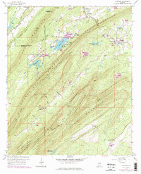
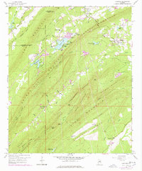
1959 Map of Vandiver
USGS Topo · Published 1978About this map
Double Oak Mountain and Coosa Mountain dominate this landscape southeast of Birmingham, where the Jefferson Co and Shelby Co line meets at Shephard Gap. The map captures the communities of Vandiver and Dunavant during a period of transition, with purple revisions from the 1970s reflecting new developments around Wehapa Lake and the Chelsea Game Preserve. Local history is centered on numerous country churches including Pleasant Site Ch, Union Hill Ch, and Ebenezer Ch, many of which served as the social heart of these rural ridge settlements. The area's hydrology is characterized by the Little Cahaba River feeding into Lake Purdy, while the ridgelines are punctuated by landmarks like the Lookout Tower near Signal Mtn and gaps such as Rattlesnake Gap and Rock Cutter Gap.
Find a feature on this map
60 named features on this map. Tap any name to fly to it.
Don’t see what you’re looking for? This feature index may not catch every label — zoom into the map to look around manually.
Map Details
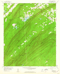
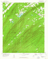
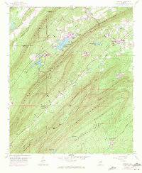
Editions of this 1959 Vandiver Map
5 editions found
Other maps of this area

1889 · Springville
USGS Topo · 1:125,000

1889 · Birmingham
USGS Topo · 1:125,000

1890 · Bessemer
USGS Topo · 1:125,000

1890 · Talladega
USGS Topo · 1:125,000

1892 · Birmingham
USGS Topo · 1:125,000

1892 · Springville
USGS Topo · 1:125,000

1892 · Talladega
USGS Topo · 1:125,000

1892 · Bessemer
USGS Topo · 1:125,000

1895 · Birmingham
USGS Topo · 1:125,000

1905 · Leeds
USGS Topo · 1:62,500