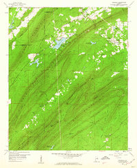
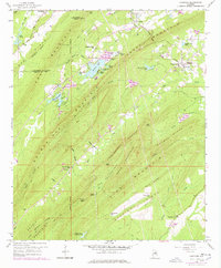
1959 Map of Vandiver
USGS Topo · Published 1960About this map
Coosa Mountain and Double Oak Mountain define this landscape on the Jefferson and Shelby county line during the late 1950s. The region is characterized by narrow, parallel ridges separated by valleys that hold established communities like Vandiver and Dunavant. Local infrastructure is anchored by the Central of Georgia railway and the historic Georgia Road, which follow the natural contours of the terrain.
Find a feature on this map
56 named features on this map. Tap any name to fly to it.
Don’t see what you’re looking for? This feature index may not catch every label — zoom into the map to look around manually.
Map Details
Editions of this 1959 Vandiver Map
5 editions found
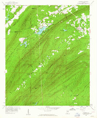
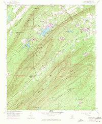
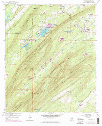
Other maps of this area

1889 · Springville
USGS Topo · 1:125,000

1889 · Birmingham
USGS Topo · 1:125,000

1890 · Bessemer
USGS Topo · 1:125,000

1890 · Talladega
USGS Topo · 1:125,000

1892 · Birmingham
USGS Topo · 1:125,000

1892 · Springville
USGS Topo · 1:125,000

1892 · Talladega
USGS Topo · 1:125,000

1892 · Bessemer
USGS Topo · 1:125,000

1895 · Birmingham
USGS Topo · 1:125,000

1905 · Leeds
USGS Topo · 1:62,500