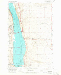
1965 Map of Vantage
USGS Topo · Published 1966About this map
The Columbia River serves as the dominant spine of this landscape, separating the high basalt plateaus of Kittitas Co and Grant Co. This mid-1960s survey documents the area shortly after the completion of the Wanapum Dam, showing the complex infrastructure of the Powerhouse, Fish Ladder, and nearby Vantage Substation that transformed the river into a source of regional power. The map captures the small community of Vantage at a transition point, with its localized water tank and museum serving travelers near the crossing.
Find a feature on this map
25 named features on this map. Tap any name to fly to it.
Don’t see what you’re looking for? This feature index may not catch every label — zoom into the map to look around manually.
Map Details
Editions of this 1965 Vantage Map
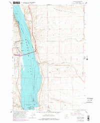
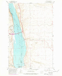
3 editions found
Other maps of this area

1909 · Quincy
USGS Topo · 1:62,500

1910 · Quincy
USGS Topo · 1:62,500

1912 · Beverly
USGS Topo · 1:62,500

1920 · Colockum Pass
USGS Topo · 1:125,000

1922 · Colockum Pass
USGS Topo · 1:125,000

1939 · Boylston
USGS Topo · 1:48,000

1943 · Boylston
USGS Topo · 1:62,500

1950 · Yakima
USGS Topo · 1:250,000

1953 · Ginkgo
USGS Topo · 1:24,000
1953 · Doris
USGS Topo · 1:24,000