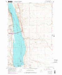
1965 Map of Vantage
USGS Topo · Published 1978About this map
The Columbia River corridor dominates this mid-1960s landscape, illustrating the massive scale of mid-century hydroelectric and infrastructure development in central Washington. This period marks a transformative era for the Vantage area following the creation of Wanapum Lake behind the Wanapum Dam. The map captures industrial and conservation efforts existing side-by-side, from the powerhouse and fish ladder at the dam to the protected grounds of Ginkgo Petrified Forest State Park. To the west, Schnebly Road winds through rocky coulees like Ryegrass Coulee, while the eastern shore is defined by the steep Babcock Bench and the broad Frenchman Hills. This survey reflects a moment when the regional economy shifted from river-bottom grazing and small settlements like Echo toward large-scale power generation and recreation at the Ginkgo Museum.
Find a feature on this map
32 named features on this map. Tap any name to fly to it.
Don’t see what you’re looking for? This feature index may not catch every label — zoom into the map to look around manually.
Map Details
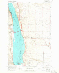
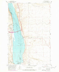
Editions of this 1965 Vantage Map
3 editions found
Other maps of this area

1909 · Quincy
USGS Topo · 1:62,500

1910 · Quincy
USGS Topo · 1:62,500

1912 · Beverly
USGS Topo · 1:62,500

1920 · Colockum Pass
USGS Topo · 1:125,000

1922 · Colockum Pass
USGS Topo · 1:125,000

1939 · Boylston
USGS Topo · 1:48,000

1943 · Boylston
USGS Topo · 1:62,500

1950 · Yakima
USGS Topo · 1:250,000

1953 · Ginkgo
USGS Topo · 1:24,000
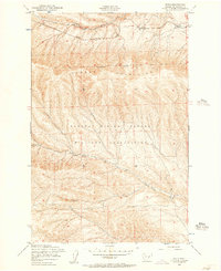
1953 · Doris
USGS Topo · 1:24,000