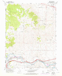
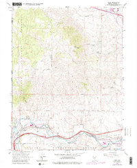
1967 Map of Verdi
USGS Topo · Published 1976About this map
The Southern Pacific railroad corridor and the Truckee River anchor this mid-century survey of the Nevada-California borderlands. While the settlement at Verdi is the primary hub, the map records a landscape deeply etched by mining history and early industrial development. Prospectors and local historians can trace the sites of the Poeville (Site) and numerous workings such as the Red Metal Mine, Golden Fleece Mine, and Nevada Central Mine scattered across the slopes of Peavine Peak.
Find a feature on this map
41 named features on this map. Tap any name to fly to it.
Don’t see what you’re looking for? This feature index may not catch every label — zoom into the map to look around manually.
Map Details
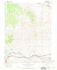
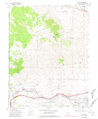
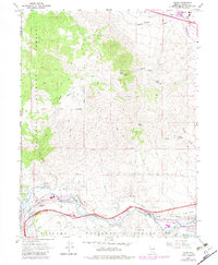
Editions of this 1967 Verdi Map
5 editions found
Other maps of this area

1890 · Sierraville
USGS Topo · 1:125,000

1891 · Carson
USGS Topo · 1:125,000

1891 · Truckee
USGS Topo · 1:125,000

1891 · Reno
USGS Topo · 1:125,000

1892 · Sierraville
USGS Topo · 1:125,000

1893 · Carson
USGS Topo · 1:125,000

1893 · Truckee
USGS Topo · 1:125,000

1893 · Reno
USGS Topo · 1:125,000

1894 · Sierraville
USGS Topo · 1:125,000

1895 · Truckee
USGS Topo · 1:125,000