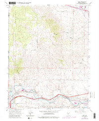
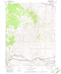
1967 Map of Verdi
USGS Topo · Published 1982About this map
Mining operations and early industrial infrastructure define the eastern slopes of the Carson Range as it meets the Nevada state line. The Truckee River corridor serves as the primary artery for transportation, shared by the Southern Pacific and Western Pacific railroads. While the settlement at Verdi marks a significant hub near the river, the hills to the north are dotted with evidence of the region’s mineral history, including the Red Metal Mine, Golden Fleece Mine, and the Poeville (Site).
Find a feature on this map
42 named features on this map. Tap any name to fly to it.
Don’t see what you’re looking for? This feature index may not catch every label — zoom into the map to look around manually.
Map Details
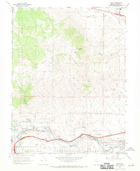
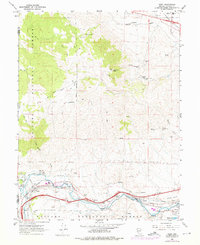
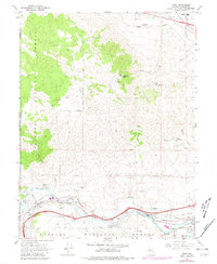
Editions of this 1967 Verdi Map
5 editions found
Other maps of this area

1890 · Sierraville
USGS Topo · 1:125,000

1891 · Carson
USGS Topo · 1:125,000

1891 · Truckee
USGS Topo · 1:125,000

1891 · Reno
USGS Topo · 1:125,000

1892 · Sierraville
USGS Topo · 1:125,000

1893 · Carson
USGS Topo · 1:125,000

1893 · Truckee
USGS Topo · 1:125,000

1893 · Reno
USGS Topo · 1:125,000

1894 · Sierraville
USGS Topo · 1:125,000

1895 · Truckee
USGS Topo · 1:125,000