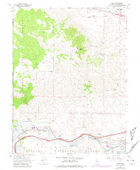
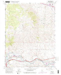
1967 Map of Verdi
USGS Topo · Published 1981About this map
The Truckee River corridor defines the southern half of this Nevada landscape, where the Southern Pacific railroad and Interstate 80 follow the water's path toward Reno. The settlement of Verdi sits at the foot of the Toiyabe National Forest, marked by infrastructure including a Fish Hatchery, Powerhouse, and Trailer Park. To the east, the small communities of Mogul and Lawton are situated along the river's north bank, while the Ditch system and Pipeline networks trace the era's water and utility management.
Find a feature on this map
42 named features on this map. Tap any name to fly to it.
Don’t see what you’re looking for? This feature index may not catch every label — zoom into the map to look around manually.
Map Details
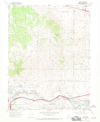
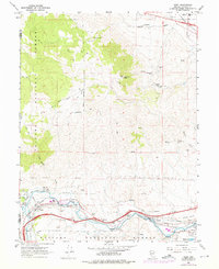
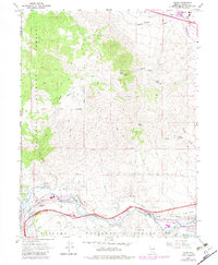
Editions of this 1967 Verdi Map
5 editions found
Other maps of this area

1890 · Sierraville
USGS Topo · 1:125,000

1891 · Carson
USGS Topo · 1:125,000

1891 · Truckee
USGS Topo · 1:125,000

1891 · Reno
USGS Topo · 1:125,000

1892 · Sierraville
USGS Topo · 1:125,000

1893 · Carson
USGS Topo · 1:125,000

1893 · Truckee
USGS Topo · 1:125,000

1893 · Reno
USGS Topo · 1:125,000

1894 · Sierraville
USGS Topo · 1:125,000

1895 · Truckee
USGS Topo · 1:125,000