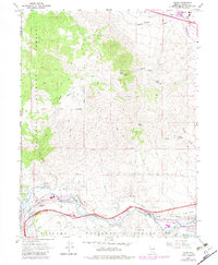
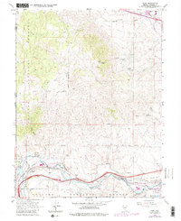
1967 Map of Verdi
USGS Topo · Published 1982About this map
Peavine Peak dominates the high ground in this 1960s survey, revised in the early 1980s to show the shifting footprint of industry and infrastructure northwest of Reno. The map captures a transition from mountain mining to valley transport, marked by the historic Poeville (Site) and a string of operations like the Red Metal Mine and Golden Fleece Mine. Along the Truckee River, the settlements of Verdi, Mogul, and Lawton are linked by the Southern Pacific and Western Pacific railroads, reflecting the area's role as a vital transportation corridor through the Toiyabe National Forest. Local water management is evident in the Steamboat Ditch and Last Chance Ditch, which parallel the river's path. These features, combined with a Cem and various borrow pits, provide a clear record of land use at the Nevada-California border.
Find a feature on this map
38 named features on this map. Tap any name to fly to it.
Don’t see what you’re looking for? This feature index may not catch every label — zoom into the map to look around manually.
Map Details
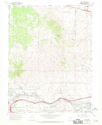
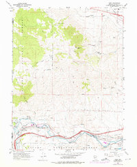
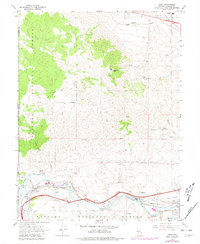
Editions of this 1967 Verdi Map
5 editions found
Other maps of this area

1890 · Sierraville
USGS Topo · 1:125,000

1891 · Carson
USGS Topo · 1:125,000

1891 · Truckee
USGS Topo · 1:125,000

1891 · Reno
USGS Topo · 1:125,000

1892 · Sierraville
USGS Topo · 1:125,000

1893 · Carson
USGS Topo · 1:125,000

1893 · Truckee
USGS Topo · 1:125,000

1893 · Reno
USGS Topo · 1:125,000

1894 · Sierraville
USGS Topo · 1:125,000

1895 · Truckee
USGS Topo · 1:125,000