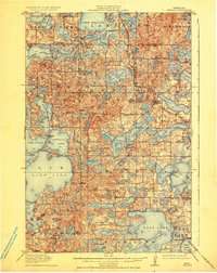
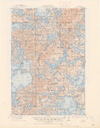
1915 Map of Vergas
USGS Topo · Published 1936About this map
Glacial topography defines the landscape around Vergas, where a complex network of kettle lakes and moraines shaped early settlement patterns. This 1912 survey illustrates a transition from timber and pioneer farming toward a seasonal recreation economy, marked by the presence of Pelican Inn and Websters Inn on the shores of Lake Melissa and Dead Lake. The industrial and transportation backbone of the region is anchored by the Northern Pacific railroad and its Winnipeg Line, which provided the necessary access for both commerce and the burgeoning tourism industry. Dozens of rural school districts, such as School No 167 and Jacobs School, are meticulously plotted, serving as vital landmarks for genealogists tracing family homesteads. Significant water bodies like Mc Donald Lake, the Silent Lakes, and Loon Lake dominate the terrain, reflecting the heavy influence of the Department of Drainage and Waters in mapping this water-rich environment.
Find a feature on this map
90 named features on this map. Tap any name to fly to it.
Don’t see what you’re looking for? This feature index may not catch every label — zoom into the map to look around manually.
Map Details
Editions of this 1915 Vergas Map
6 editions found
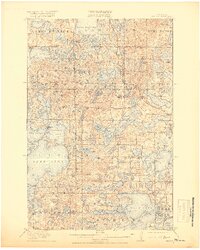
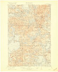
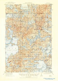
Other maps of this area

1912 · Vergas
USGS Topo · 1:62,500

1912 · Battle Lake
USGS Topo · 1:62,500

1913 · Fergus Falls
USGS Topo · 1:62,500

1914 · Battle Lake
USGS Topo · 1:62,500

1914 · Pelican Rapids
USGS Topo · 1:62,500

1915 · Underwood
USGS Topo · 1:62,500

1915 · Perham
USGS Topo · 1:62,500

1915 · Vergas
USGS Topo · 1:62,500

1917 · Pelican Rapids
USGS Topo · 1:62,500

1953 · Fargo
USGS Topo · 1:250,000
Featured Places
- Lake Eunice, MN
- Vergas, MN
- Bucks Mill, MN
- Heisler Manufactured Home Park, MN
- Mavis Frazier Trailer Park, MN