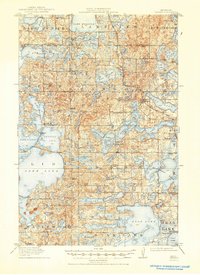
1915 Map of Vergas
USGS Topo · Published 1946About this map
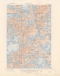
Vergas serves as the central hub of this lake-strewn landscape in West Central Minnesota, situated along the Northern Pacific RR. This era of the early twentieth century shows a region defined by its water and woods, where early tourism and industry meet. Notable landmarks like Pelican Inn and Webster's Inn point to the area's development as a destination for travelers, while Bucks Mill and the Mill Pond along the Pelican River highlight the local timber and milling economy.
Find a feature on this map
97 named features on this map. Tap any name to fly to it.
Don’t see what you’re looking for? This feature index may not catch every label — zoom into the map to look around manually.
Map Details
Editions of this 1915 Vergas Map
6 editions found
Other maps of this area

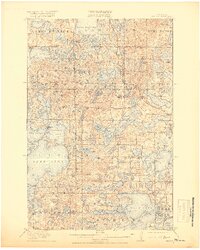
1912 · Vergas
USGS Topo · 1:62,500

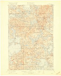
1912 · Battle Lake
USGS Topo · 1:62,500

1913 · Fergus Falls
USGS Topo · 1:62,500

1914 · Battle Lake
USGS Topo · 1:62,500

1914 · Pelican Rapids
USGS Topo · 1:62,500

1915 · Underwood
USGS Topo · 1:62,500

1915 · Perham
USGS Topo · 1:62,500

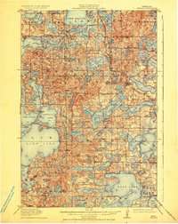
1915 · Vergas
USGS Topo · 1:62,500

1917 · Pelican Rapids
USGS Topo · 1:62,500

1953 · Fargo
USGS Topo · 1:250,000
Featured Places
- Lake Eunice, MN
- Vergas, MN
- Bucks Mill, MN
- Heisler Manufactured Home Park, MN
- Mavis Frazier Trailer Park, MN