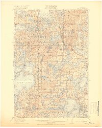
1915 Map of Vergas
USGS Topo · Published 1919About this map
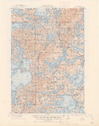
Glacial lakes dominate this portion of Otter Tail County, where the Otter Tail River winds through a complex network of basins including Lake Lida, Star Lake, and Crystal Lake. The early 20th-century landscape is defined by its rural density, marked by a systematic grid of numbered schools such as School No 232 and School No 164, alongside named locations like Jacobs School. Early tourism and traveler infrastructure are evident in the presence of the Pelican Inn near Lake Lizzie and Websters Inn on the shores of Dead Lake. The terrain is punctuated by landmarks like Patterson Bridge and localized industrial features such as the Mill Pond north of Sauers Lake. This survey, conducted in cooperation with the State of Minnesota, captures the townships of Scandia, Dunn, and Lida before modern development altered these shorelines.
Find a feature on this map
85 named features on this map. Tap any name to fly to it.
Don’t see what you’re looking for? This feature index may not catch every label — zoom into the map to look around manually.
Map Details
Editions of this 1915 Vergas Map
6 editions found
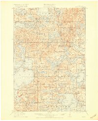
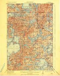
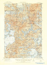
Other maps of this area

1912 · Vergas
USGS Topo · 1:62,500

1912 · Battle Lake
USGS Topo · 1:62,500

1913 · Fergus Falls
USGS Topo · 1:62,500

1914 · Battle Lake
USGS Topo · 1:62,500

1914 · Pelican Rapids
USGS Topo · 1:62,500

1915 · Underwood
USGS Topo · 1:62,500

1915 · Perham
USGS Topo · 1:62,500

1915 · Vergas
USGS Topo · 1:62,500

1917 · Pelican Rapids
USGS Topo · 1:62,500

1953 · Fargo
USGS Topo · 1:250,000
Featured Places
- Lake Eunice, MN
- Vergas, MN
- Bucks Mill, MN
- Heisler Manufactured Home Park, MN
- Mavis Frazier Trailer Park, MN