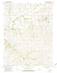
1969 Map of Vermillion
USGS Topo · Published 1982About this map
The Black Vermillion River carves a winding path across this Marshall County landscape, anchoring a rail-driven economy during the late 1960s. The settlement of Vermillion sits at a nexus where the Missouri Pacific railroad lines intersect with the river's valley, while the smaller community of Vliets appears further west along the same tracks. In the southern reaches of the quadrangle, the Union Pacific line cuts through the hills near Kearney and Irish Creek. These rail corridors highlight the importance of transportation in connecting rural Kansas towns like Sullivan to larger markets. Genealogists will find notable burial sites such as Morrison Cem and Vermillion Cem preserved here, alongside evidence of local industry at a Quarry near the Clear Fork. The map's detailed fencing and field lines provide a clear view of the agrarian boundaries that define the townships of Rock, Lincoln, and Noble.
Find a feature on this map
20 named features on this map. Tap any name to fly to it.
Don’t see what you’re looking for? This feature index may not catch every label — zoom into the map to look around manually.
Map Details
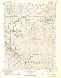
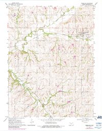
Editions of this 1969 Vermillion Map
3 editions found
Other maps of this area

1889 · Seneca
USGS Topo · 1:125,000

1894 · Seneca
USGS Topo · 1:125,000

1955 · Manhattan
USGS Topo · 1:250,000

1956 · Manhattan
USGS Topo · 1:250,000

1957 · Manhattan
USGS Topo · 1:250,000

1966 · Baileyville
USGS Topo · 1:24,000

1966 · Axtell
USGS Topo · 1:24,000
1966 · Beattie
USGS Topo · 1:24,000
1969 · Centralia
USGS Topo · 1:24,000
1969 · Frankfort
USGS Topo · 1:24,000