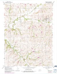
1969 Map of Vermillion
USGS Topo · Published 1983About this map
Vermillion serves as the primary hub of this northern Kansas landscape, where the Missouri Pacific railroad cuts through the valley following the course of the Vermillion River. The map captures a transition in rail infrastructure, showing both the Missouri Pacific line through Vliets and the Union Pacific trackage further south near Sullivan. These transportation corridors were essential for the agricultural economy of the late 1960s, linking small settlements and local resources like the Quarry near Kearney.
Find a feature on this map
23 named features on this map. Tap any name to fly to it.
Don’t see what you’re looking for? This feature index may not catch every label — zoom into the map to look around manually.
Map Details
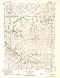
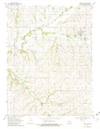
Editions of this 1969 Vermillion Map
3 editions found
Other maps of this area

1889 · Seneca
USGS Topo · 1:125,000

1894 · Seneca
USGS Topo · 1:125,000

1955 · Manhattan
USGS Topo · 1:250,000

1956 · Manhattan
USGS Topo · 1:250,000

1957 · Manhattan
USGS Topo · 1:250,000

1966 · Baileyville
USGS Topo · 1:24,000

1966 · Axtell
USGS Topo · 1:24,000
1966 · Beattie
USGS Topo · 1:24,000
1969 · Centralia
USGS Topo · 1:24,000
1969 · Frankfort
USGS Topo · 1:24,000