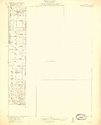
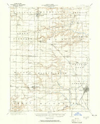
1918 Map of Vermont
USGS Topo · Published 1918About this map
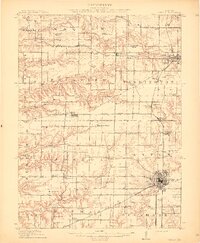
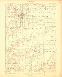
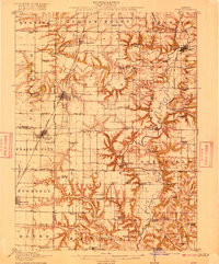
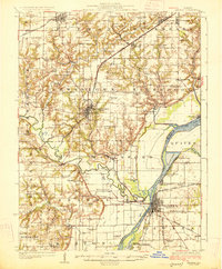
The Fourth Principal Meridian defines the eastern edge of this 1916 survey, documenting the rural landscape of Western Illinois at the height of its rail-driven agricultural development. Two major rail corridors intersect the western townships, with the Toledo Peoria and Western crossing through New Philadelphia in the north and the Chicago Burlington and Quincy serving Adair to the south.
Find a feature on this map
20 named features on this map. Tap any name to fly to it.
Don’t see what you’re looking for? This feature index may not catch every label — zoom into the map to look around manually.
Map Details
Editions of this 1918 Vermont Map
2 editions found
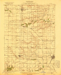
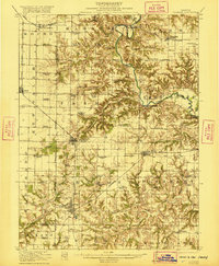
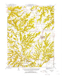
Other maps of this area
1912 · Canton
USGS Topo · 1:62,500

1912 · Macomb
USGS Topo · 1:62,500
1914 · Macomb
USGS Topo · 1:62,500
1915 · Avon
USGS Topo · 1:62,500
1916 · Good Hope
USGS Topo · 1:62,500

1918 · Vermont
USGS Topo · 1:62,500
1918 · Good Hope
USGS Topo · 1:62,500
1921 · Vermont
USGS Topo · 1:62,500
1923 · Rushville
USGS Topo · 1:62,500
1925 · Havana
USGS Topo · 1:62,500