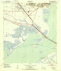
1943 Map of Virginia Point
USGS Topo · Published 1952About this map
Virginia Point serves as the strategic gateway to Galveston Island in this coastal survey, where the massive Galveston Causeway anchors the land-to-sea transition. The landscape is a complex network of industrial rail lines, including the Southern Pacific and the Santa Fe Lines, converging near Texas City Junction to support the regional shipping economy. Beyond the industrial corridors of Lamarque and the Texas City Terminal, the map details a delicate coastal environment of marshy bayous and sheltered waters. The Intracoastal Waterway cuts through West Bay, passing landmarks like North Deer Island and South Deer Island. For historians, the alignment of these early railroads and the presence of scattered oil wells along Highland Bayou illustrate the mid-century intersection of transportation and natural resource extraction on the Texas Gulf Coast.
Find a feature on this map
35 named features on this map. Tap any name to fly to it.
Don’t see what you’re looking for? This feature index may not catch every label — zoom into the map to look around manually.
Map Details
Editions of this 1943 Virginia Point Map
2 editions found
Other maps of this area

1929 · Dickinson
USGS Topo · 1:24,000

1929 · Karankawa Lake
USGS Topo · 1:24,000

1929 · Hitchcock
USGS Topo · 1:24,000

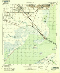
1929 · Virginia Point
USGS Topo · 1:24,000

1929 · Texas City
USGS Topo · 1:24,000

1930 · Galveston
USGS Topo · 1:24,000

1931 · Lake Como
USGS Topo · 1:24,000

1932 · Dickinson
USGS Topo · 1:31,680

1932 · Texas City
USGS Topo · 1:31,680

1932 · Bolivar Point
USGS Topo · 1:24,000