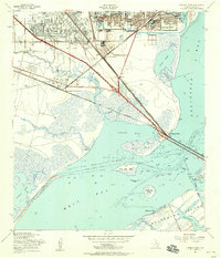
1954 Map of Virginia Point
USGS Topo · Published 1956About this map
Texas City and La Marque stand as industrial and residential anchors along the western shore of Galveston Bay in the mid-1950s. This survey captures a landscape defined by the convergence of heavy industry and coastal geography, marked by extensive rail systems like the Texas City Terminal and the Gulf Colorado and Santa Fe. The map details the vital connection to the mainland via the Galveston Causeway, linking to the northern tip of Galveston Island at Virginia Point.
Find a feature on this map
38 named features on this map. Tap any name to fly to it.
Don’t see what you’re looking for? This feature index may not catch every label — zoom into the map to look around manually.
Map Details
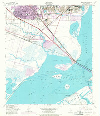
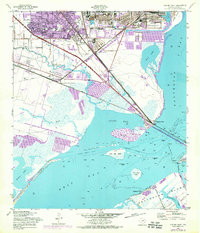
Editions of this 1954 Virginia Point Map
3 editions found
Other maps of this area

1929 · Dickinson
USGS Topo · 1:24,000

1929 · Karankawa Lake
USGS Topo · 1:24,000

1929 · Hitchcock
USGS Topo · 1:24,000

1929 · Virginia Point
USGS Topo · 1:24,000

1929 · Texas City
USGS Topo · 1:24,000

1930 · Galveston
USGS Topo · 1:24,000

1931 · Lake Como
USGS Topo · 1:24,000

1932 · Dickinson
USGS Topo · 1:31,680

1932 · Texas City
USGS Topo · 1:31,680

1932 · Bolivar Point
USGS Topo · 1:24,000