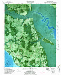
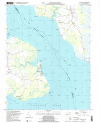
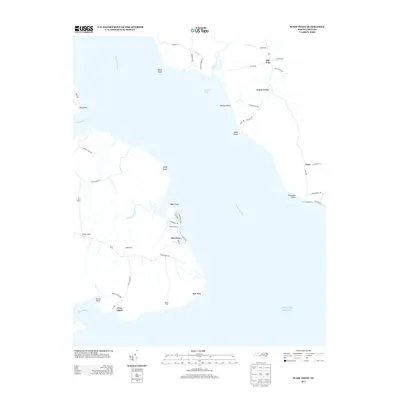
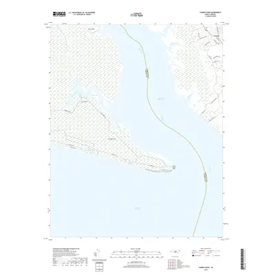
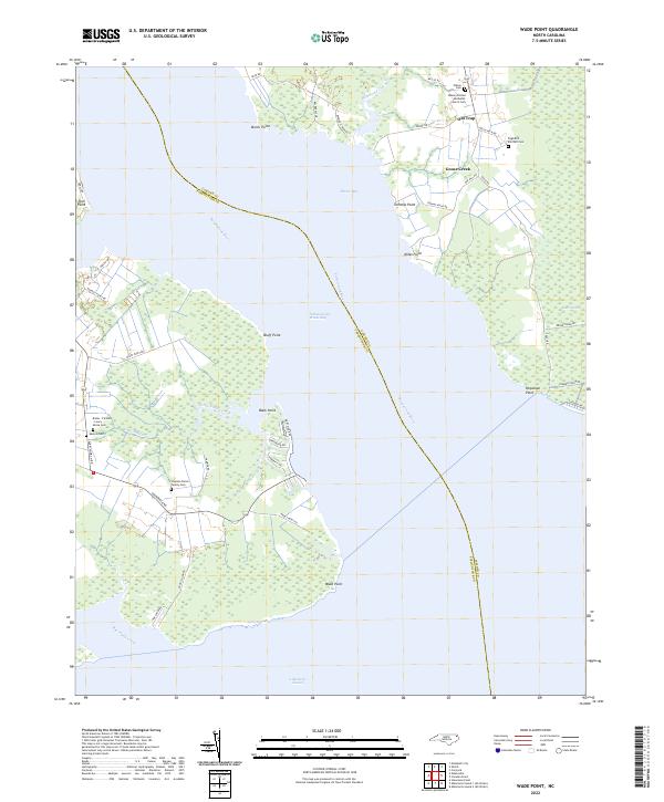
1982 Map of Wade Point
USGS Topo · Published 1991About this map
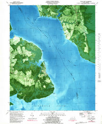
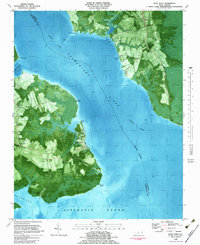
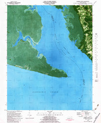
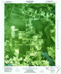
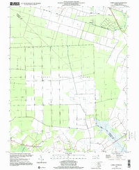
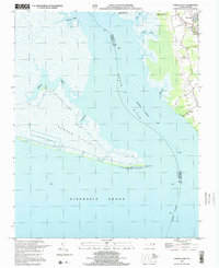
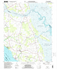
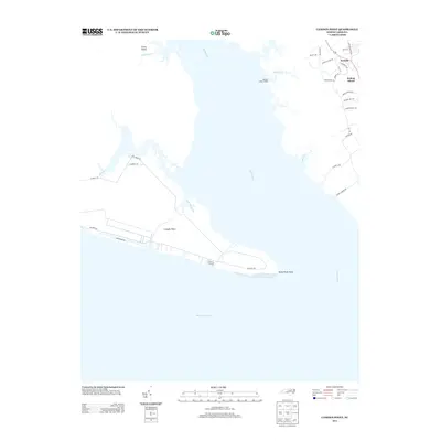
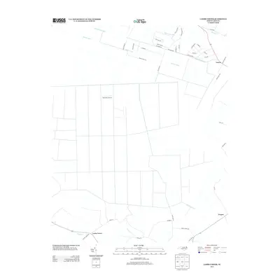
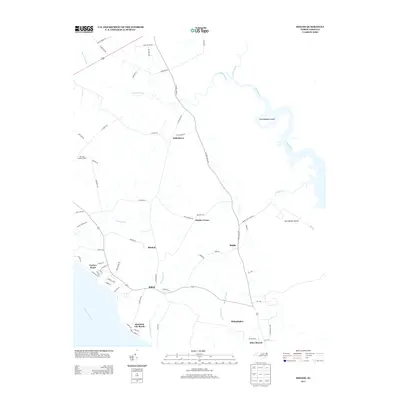
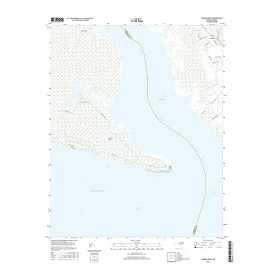
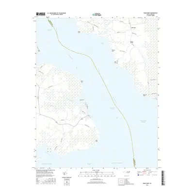
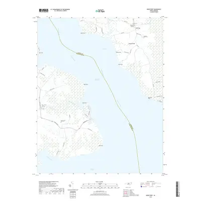
The Pasquotank River serves as the central artery for this coastal landscape where Camden and Pasquotank Counties meet at the edge of the Albemarle Sound. This orthophotomap, based on early 1980s data, illustrates the intricate relationship between agricultural clearings and the surrounding wetlands. In Camden County, the settlement of Old Trap sits near the head of Beaverdam Swamp, while smaller hubs like Texas and Sound Landing line the eastern shore. Across the water, the Pasquotank side is marked by a series of prominent points including Bluff Point and Wade Point. The distribution of community life is traced through several local houses of worship, such as Gentile Ch, New Salem Ch, and Flatty Creek Ch, many of which are accompanied by small family or church Cem plots that provide essential clues for genealogical research in this lowland region.
Find a feature on this map
32 named features on this map. Tap any name to fly to it.
Don’t see what you’re looking for? This feature index may not catch every label — zoom into the map to look around manually.
Map Details
Editions of this 1982 Wade Point Map
2 editions found
Historical Maps of Goose Creek Through Time
28 maps found
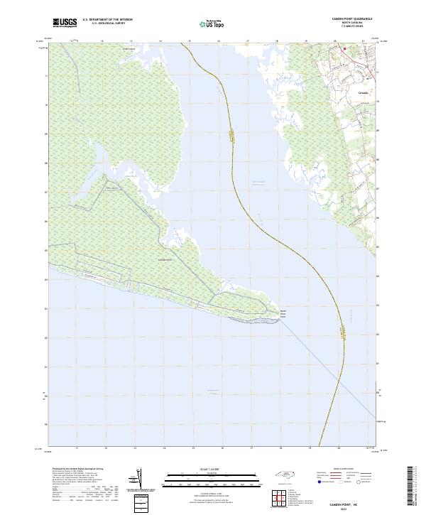
1982 Camden Point
Camden County, NC
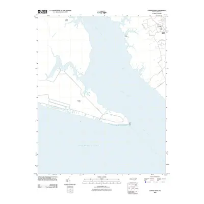
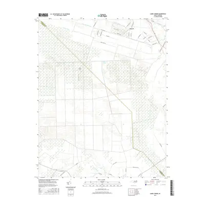
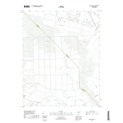
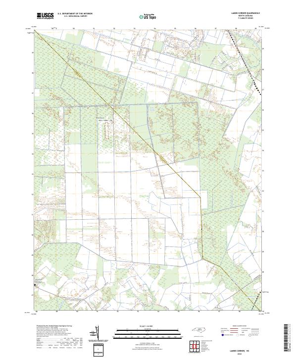
1982 Lambs Corner
Camden County, NC
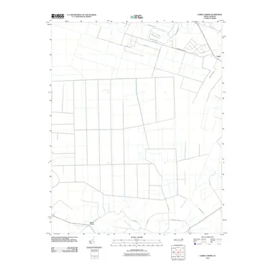
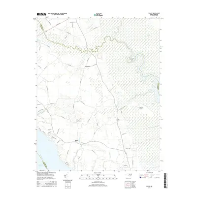
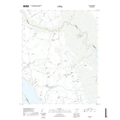
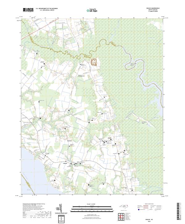
1982 Shiloh
Camden County, NC
1982 Wade Point
Camden County, NC
1997 Lambs Corner
Camden County, NC
1999 Camden Point
Camden County, NC
1999 Shiloh
Camden County, NC
1999 Wade Point
Camden County, NC
2010 Camden Point
Camden County, NC
2010 Lambs Corner
Camden County, NC
2010 Shiloh
Camden County, NC

2010 Wade Point
Camden County, NC
2013 Camden Point
Camden County, NC
2013 Lambs Corner
Camden County, NC
2013 Shiloh
Camden County, NC
2013 Wade Point
Camden County, NC
2016 Camden Point
Camden County, NC
2016 Lambs Corner
Camden County, NC
2016 Shiloh
Camden County, NC
2016 Wade Point
Camden County, NC
2019 Camden Point
Camden County, NC
2019 Lambs Corner
Camden County, NC
2019 Shiloh
Camden County, NC
2019 Wade Point
Camden County, NC
2022 Camden Point
Camden County, NC
2022 Lambs Corner
Camden County, NC
2022 Shiloh
Camden County, NC
2022 Wade Point
Camden County, NC