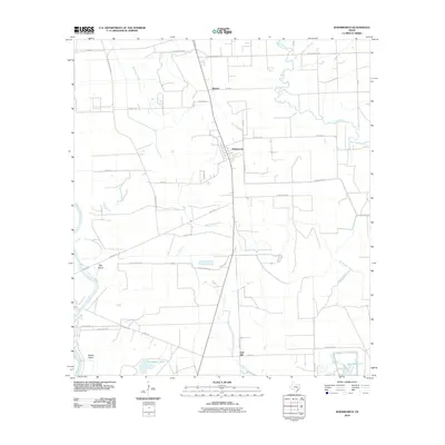
2010 Map of Wadsworth
USGS Topo · Published 2010About this map
The low-lying coastal prairies of Matagorda County are defined by a complex network of waterways that converge near the Colorado River. At the center of this landscape sits Wadsworth, a community positioned where the agricultural terrain transitions toward the coastal marshes. Local infrastructure and land use are deeply tied to the movement of water, evidenced by features such as Big Boggy Creek, Peyton Creek, and the Wadsworth Slough. Further south, the settlement of Gulf Hill and large-scale water management features like East Reservoir and Donaldson Lake reflect the area's ongoing relationship with drainage and irrigation.
Find a feature on this map
32 named features on this map. Tap any name to fly to it.
Don’t see what you’re looking for? This feature index may not catch every label — zoom into the map to look around manually.
Map Details
Editions of this 2010 Wadsworth Map
This is the sole edition of this map. No revisions or reprints were ever made.
Other maps of this area
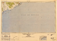
1951 · Bay City
USGS Topo · 1:250,000
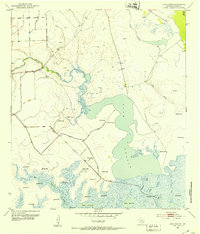
1952 · Lake Austin
USGS Topo · 1:24,000
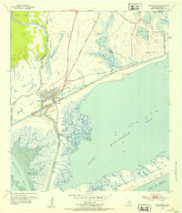
1952 · Matagorda
USGS Topo · 1:24,000
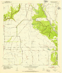
1952 · Blessing SE
USGS Topo · 1:24,000
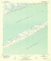
1952 · Dressing Point
USGS Topo · 1:24,000
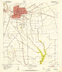
1952 · Bay City
USGS Topo · 1:24,000
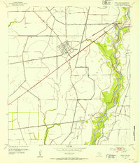
1952 · Markham
USGS Topo · 1:24,000
1952 · Bay City NE
USGS Topo · 1:24,000
1952 · Palacios NE
USGS Topo · 1:24,000
1952 · Wadsworth
USGS Topo · 1:24,000