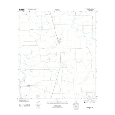
2013 Map of Wadsworth
USGS Topo · Published 2013About this map
Wadsworth serves as the central hub of this coastal Texas landscape, where the flat coastal plains of Matagorda County are intricately carved by a network of slow-moving waterways. The settlement's grid, featuring Main St and numbered streets, stands in contrast to the surrounding agricultural and ranching lands, including the Pitch Fork Rnch to the north. Water dominates the geography, with the meandering Big Boggy Cr and Little Boggy Cr draining toward the gulf. To the west, the Colorado River defines the boundary of the quadrangle, creating landforms like Dick Island and Selkirk Island. This 2013 survey illustrates a modern rural economy defined by water management and transit, visible in the industrial presence of Cain Chemical Rd and the significant water storage at East Reservoir near Gulf Hill.
Find a feature on this map
46 named features on this map. Tap any name to fly to it.
Don’t see what you’re looking for? This feature index may not catch every label — zoom into the map to look around manually.
Map Details
Editions of this 2013 Wadsworth Map
This is the sole edition of this map. No revisions or reprints were ever made.
Other maps of this area

1951 · Bay City
USGS Topo · 1:250,000

1952 · Lake Austin
USGS Topo · 1:24,000

1952 · Matagorda
USGS Topo · 1:24,000

1952 · Blessing SE
USGS Topo · 1:24,000

1952 · Dressing Point
USGS Topo · 1:24,000

1952 · Bay City
USGS Topo · 1:24,000

1952 · Markham
USGS Topo · 1:24,000

1952 · Bay City NE
USGS Topo · 1:24,000

1952 · Palacios NE
USGS Topo · 1:24,000

1952 · Wadsworth
USGS Topo · 1:24,000