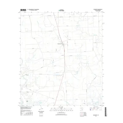
2016 Map of Wadsworth
USGS Topo · Published 2016About this map
Wadsworth serves as the central hub of this coastal Texas landscape, where the local economy is etched into the grid of rural roads and drainage networks. The settlement is defined by its proximity to several significant waterways, most notably the winding course of the Colorado River to the west and the marshy expanses of Big Boggy Cr and Wadsworth Slough to the east. The terrain is a complex of wetlands and low-lying plains, evidenced by features such as Dick Island and the residential developments at Selkirk Island.
Find a feature on this map
51 named features on this map. Tap any name to fly to it.
Don’t see what you’re looking for? This feature index may not catch every label — zoom into the map to look around manually.
Map Details
Editions of this 2016 Wadsworth Map
This is the sole edition of this map. No revisions or reprints were ever made.
Other maps of this area

1951 · Bay City
USGS Topo · 1:250,000

1952 · Lake Austin
USGS Topo · 1:24,000

1952 · Matagorda
USGS Topo · 1:24,000

1952 · Blessing SE
USGS Topo · 1:24,000

1952 · Dressing Point
USGS Topo · 1:24,000

1952 · Bay City
USGS Topo · 1:24,000

1952 · Markham
USGS Topo · 1:24,000

1952 · Bay City NE
USGS Topo · 1:24,000

1952 · Palacios NE
USGS Topo · 1:24,000

1952 · Wadsworth
USGS Topo · 1:24,000