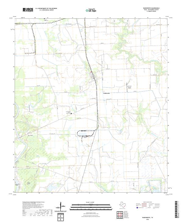
2022 Map of Wadsworth
USGS Topo · Published 2022About this map
Wadsworth sits as a central hub in this coastal Texas landscape, where the town's street grid, including Main St and 8th St, meets the rural corridors of Farm Rd 521 and Ryman Rd. The terrain is defined by a complex network of waterways, with the Colorado River flowing along the western edge and various branches of Big Boggy Creek and Peyton Creek winding through the low-lying plains. This 2022 survey captures the area's mix of agricultural utility and aviation history, notably the Gulf Coast Aviation Airport situated just east of the main settlement.
Find a feature on this map
52 named features on this map. Tap any name to fly to it.
Don’t see what you’re looking for? This feature index may not catch every label — zoom into the map to look around manually.
Map Details
Editions of this 2022 Wadsworth Map
This is the sole edition of this map. No revisions or reprints were ever made.
Other maps of this area

1951 · Bay City
USGS Topo · 1:250,000

1952 · Lake Austin
USGS Topo · 1:24,000

1952 · Matagorda
USGS Topo · 1:24,000

1952 · Blessing SE
USGS Topo · 1:24,000

1952 · Dressing Point
USGS Topo · 1:24,000

1952 · Bay City
USGS Topo · 1:24,000

1952 · Markham
USGS Topo · 1:24,000

1952 · Bay City NE
USGS Topo · 1:24,000

1952 · Palacios NE
USGS Topo · 1:24,000

1952 · Wadsworth
USGS Topo · 1:24,000